May 31, 2014

Zion II - Kolob Canyons & Hop Valley

We hiked the Taylor Creek Trail to the Double Arch Alcove in Kolob Canyons. Basically just pretty canyon views all day, with some historic cabins and nice shady stretches of trail.

We've been reading and learning about geology and land forms recently, so I felt like a cool kid when I spotted this recumbent fold along the trail.

It's much greener on this side of the park

More Kolob Canyon vistas


We hiked into Hop Valley, it's a pretty unforgettable place. The trail starts out going through a sandy desert area, through a cow pasture on private property (just close the gate behind you) and down, down, into the valley. The trail follows and crosses a shallow stream numerous times, and we were doing our best to keep our shoes dry. That was until we came upon a friendly, barefoot, condor-tracker. His advice was to ditch the hiking shoes and get our feet wet. The locals know best!


Looking down into Hop Valley


 Looking back on Hop Valley. It was hard to leave!

The drive home was beautiful too. Can you imagine living here?? We drove past a few little cabins with solar panels and hammocks. Sign me up.

Part III coming...

May 30, 2014

Hoodoos!!!

We took a day to drive all the way up to the tippy-top of the Grand Staircse and visit Bryce Canyon National Park. We started at the very bottom when we left Flagstaff, driving up Scenic Route 89, passing the Grand Canyon and Vermilion Cliffs. It was really neat to see the top of this geological sequence. 


This Dixie National Forest area was on the way to Bryce, I wanted to stay longer. There was a bike trail that looked pretty incredible, along with some nice camping spots. At least I got a picture of their brown sign, love that forest service seal! See the matching tree in the background? :)

We're recognizing and pursuing patterns in our way of travel. The most obvious one, is that we try to stick to the green on the pages of our atlas as much as possible. These are state and national parks, forests, monuments, wilderness areas, etc. And Utah has a LOT of green. (Go Utah!)

Usually I have no words for the incredible sights in our national parks, but walking up to Inspiration Point and seeing this for the first time, I was just "Whaaat?" These rock features are called hoodoos, and I was singing this song all day.


From Inspiration Point, we hiked along the Rim Trail to Sunset Point and down into it (it's not actually a canyon) via the Navajo Loop. We hiked to Queen's Garden, and up to Sunrise Point, then all the way back along the rim trail again.


Going down


Can you see the people? The native Paiute in the area believed the hoodoos were Legend People who had been turned to stone by that trickster, the coyote, because they had lived too heavily upon the land.


 Windows

LBJ, I wholeheartedly agree. 


It's a pretty magical place. Wish we could have stayed longer, (I hear the night skies are incredible) but I'm thankful for this glimpse.

May 28, 2014

Give Well


Let's just take a step back and look at how fortunate we all are. You're reading this on a computer, right? With internet connection? I'm guessing you also have easy access to clean, running tap water. What luxury we live! If we all could simply give, to share even just a little bit (perhaps out of our monthly coffee or beer fund?) we can give WATER to those less fortunate. We can change lives. Water crisis affects poverty, women, health and education - it's also a spiritual issue. It is such a basic necessity of life that we so easily take for granted in America. We are blessed beyond measure, and we are so grateful for that.

We want to share our blessings. And we need your help! Our goal is to raise $5,000 to fund a well for a village in India through Living Water International in the next 75 days. Here is our fundraising page.

We are 29% of the way there. THANK YOU everyone for your contributions. Let's keep going!

Charity Navigator gives Living Water International 4 out of 4 stars. You can read more about Living Water's mission here on their website. And find out how Charity Navigator rates them, based on finances, accountability, and transparency, among other important information - here.

From Living water international:
"783 million people lack access to an improved source of drinking water - that's 1 in 9 of us. In the places we work, it's more like 1 in 2 . Great progress is being made globally, but whole people groups are being overlooked - it's the poorest people with the least political power that continue to suffer, and these are the people we are called to serve."

"If our poor die of hunger, it is not because God does not care for them. Rather, it is because neither you nor I are generous enough." -Mother Theresa

Please help.
Give well!

May 27, 2014

Zion - part 1

I'd say we did a pretty good job of exploring as much of Zion National Park as we could! Top to bottom, literally. We camped for three weeks at Sand Hollow State Park, which is just outside of Hurricane, UT ("Gateway to the Parks"). The plan was to stay for two weeks, but we quickly added a third because it's...uh...pretty incredible out there. I don't really know how else to convey this, other than these pictures that do no justice to the magnificence of it all.

Thanks to the early Mormon Settlers, Zion is full of of epic-ly named features like The Watchman, The Altar of Sacrifice, The Court of the Patriarchs (Abraham, Isaac, Jacob), etc.
We hiked as many trails as we could. A few miles of the East Rim Trail, Lower and Upper Emerald Pool Trails, Weeping Rock, Northgate Peaks via Wildcat Canyon Trail, Kayenta Trail to Angel's Landing, Hidden Canyon, the Riverside Walk at the Temple of Sinewava, and we covered a few miles of the Hop Valley Trail. We walked a bit into the Subway Trail, but didn't get very far because the sun was getting low, and you need a permit. Someday!

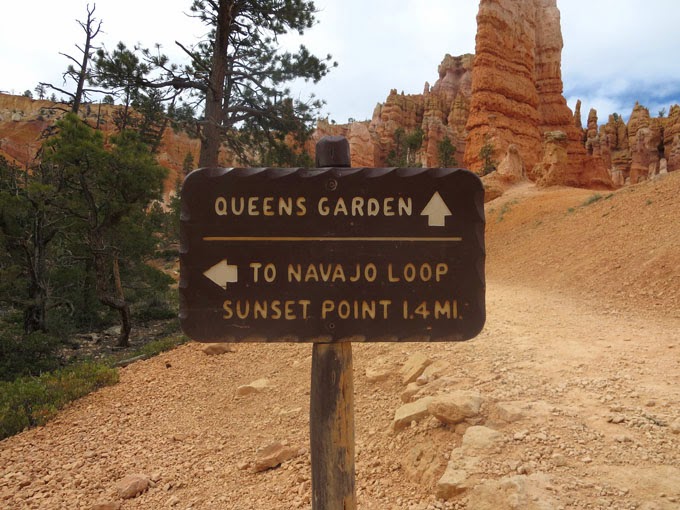
These signs never fail to excite!

Zion is full of textbook cross-bedding of Navajo Sandstone, formed from ancient sand dunes.


Geology! It's everywhere!

Sandstone cliffs

The park is full of micro-climates, everything from deserts to swamps. The cottonwood trees grow in the river valley, all along the Virgin River. The air was thick with floaty cottonwood seeds in the bottom of the canyon, it was like being in a snow-globe.

Canyon Junction

Cacti! Some of them look like feet with pink toenails

Virgin River, along the Riverside Walk


 Lower Emerald Pools (looking rather sapphire this evening)

 Upper Emerald Pool (thanks for the photo, friendly Texan and fellow hikers!)

Along Kolob Terrace Road

We got a little lost, then realized we missed our road because it wasn't really a road. Didn't realize we'd need a jeep to access the West Rim Trailhead! It was a pretty drive anyways, I don't think I had seen Birch tree groves before.

Northgate Peaks Trail has tall trees! This is exciting in Southern Utah.

Northgate Peaks - We found a nice spot on top of a mess of volcanic rock to sit
and take in the view with the lizards.

pretty lichen 
(do you see him?)

Indian Paintbrush flowers


 Oh hello again, Stephen!

The Weeping Rock

Hanging gardens at the Weeping Rock
Part II coming later!